
Commercial LiDAR comparison for tree wise forest inventories from drones | Dr. Eugene Lopatin
Commercial LiDAR comparison for tree wise forest inventories from drones Dr. Eugene Lopatin, Senior Scientist, Natural Resources Institute Finland 🇫🇮, speaks at Online Conference TOPODRONE 2022 Website: https://topodrone.org/ Email: info@topodrone.org Telegram for news: https://t.me/topodronesa Telegram chat for customers: https://t.me/topodronesagroup Instagram: https://www.instagram.com/topodrone/ Facebook: https://www.facebook.com/topodronesa LinkedIn: https://www.linkedin.com/company/topodrone/
Suggested videos
HOW TO DO BATHYMETRY FROM A DRONE? SEE HOW THE TOPODRONE AQUAMAPPER WORKS
TOPODRONE · 0:43
Forest Analysis (LiDAR & Photogrammetric flight)
Aerolaser System · 1:43

TOPODRONE DJI Matrice 200 + LIDAR 100 LITE - the lightest LiDAR (750 gramm) with 2-4 XYZ accuracy
TOPODRONE · 0:44
Exploring 3D Forestry Point Clouds | GS-100M UAV LiDAR Mapping Showcase
Geosun Navigation · 1:53
Slam 100 on the Road: Surveying Without Interrupting Traffic | TOPODRONE
TOPODRONE · 1:42

#6 Drones and LIDAR | Let's Talk Spatial
Let's Talk Spatial · 1:48:24
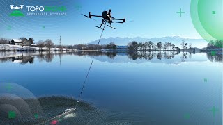
TOPODRONE AQUAMAPPER FIELD WORK
TOPODRONE · 1:00

Forest&Photonics2016: Eugene Lopatin / LUKE presentation
Forest&Photonics · 27:00
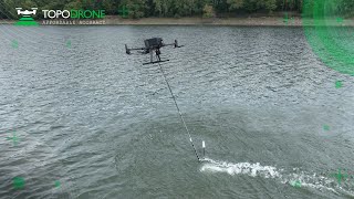
TOPODRONE AQUAMAPPER. How it works?
TOPODRONE · 2:43

ENPI Karlands study tour day 1
Eugene Lopatin · 1:06
Topodrone 61mp camera with agrowing's DUAL/QUAD/SEXTUPLE
BDS Topografie · 0:44

LiDAR Accuracy Verification | Tim Durham
TOPODRONE · 9:24