
Afternoon weather forecast for Friday, Nov. 13, 2026
Today is the mild before the... somewhat wild. Southerly flow in the upper levels of the atmosphere will keep things on the milder side, but cloud cover will be on the increase. By this evening some showers could sneak into the flow, but the brunt of the storm is late tonight and into Saturday morning. By Saturday afternoon things will be drying up with the clouds even parting by nighttime. Valley rain accumulations will generally be .10"-.40" with localized areas like along the Wasatch Front and southwest Utah up to half an inch. Northern mountain snow looks like 2-4", while central and southern mountains could see 4-8". The Cottonwoods, Uintas, and Brian Head/southwest mountains could see 5-10"! All snow accumulations are expected above 8,000 feet. Sunday and Monday will be quiet until the next storm rolls in by Tuesday. It could move in as early as Monday PM, but the main impacts are expected on Tuesday. - Matt Johnson, KSL Weather 11.12.26 ---- Socials for KSL TV: https://twitter.com/KSL5TV https://www.facebook.com/ksltv https://www.instagram.com/kslnews/ Socials for KSL NewsRadio: https://twitter.com/kslnewsradio https://www.facebook.com/KSLNewsradio/ https://www.instagram.com/ksl_newsradio/
Suggested videos

ALL FLIGHTS GROUNDED: FAA issues nationwide ground stop
KSL News Utah · 2:45:40
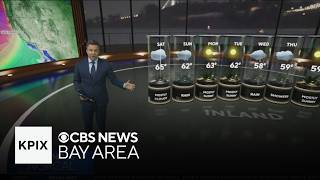
Friday evening First Alert weather forecast - 11/13/26
KPIX | CBS NEWS BAY AREA · 4:49

Utah's Morning News - November 3rd, 2026
KSL News Utah · 3:56:40

Weather Forecast | Friday, November 13, 2026
FOX54 News Huntsville · 3:42

KSL NEWS NOW: Election Results
KSL News Utah · 20:55
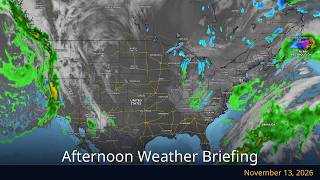
Afternoon Weather Briefing — November 13, 2026 | WeatherForYou.com
WeatherForYou.com · 2:14

Family mourns father killed in ATV accident, leaving three daughters without parents
KSL News Utah · 1:54

Evening weather for Friday, November 13, 2026
12 News · 2:14

Evening forecast November 13, 2026
KSL News Utah · 3:51
KTAB 5:00pm Forecast: Friday, November 13, 2026
BigCountryHomepage · 3:59

As planes take off again, here is what's next for travelers
KSL News Utah · 6:17

WCPO Latest Headlines and Weather: Friday, Nov. 13, 2026 | Weather, Bengals Game, School Sports
WCPO 9 · 4:18