
Video unavailable
This video can't be played right now.
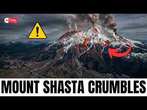
Mount Shasta COLLAPSING — Scientists Say Mount Shasta Could Fail In Any Direction
At the southern end of the Cascade Range stands the most voluminous stratovolcano in the entire chain. 14,179 feet tall. 85 cubic miles of accumulated rock. More volume than Mount St. Helens, Mount Hood, and Mount Rainier combined in some comparisons. Seven glaciers spread across its flanks. The longest and most voluminous glaciers in California. And the United States Geological Survey classifies Mount Shasta as a Very High threat — among the highest classifications applied to any volcano in the country. Approximately 300,000 years ago, an earlier version of this same volcano did something that the geological record preserves with extraordinary clarity. It catastrophically collapsed. The resulting debris avalanche measured 27 cubic kilometers — about 6.5 cubic miles of material — and buried more than 170 square miles of the Shasta Valley under hundreds of feet of debris. It is among the largest documented landslides in Earth's history. The deposits remain visible today from Interstate 5, the major north-south transportation artery that runs directly past the volcano. The modern Mount Shasta has been rebuilt on top of those deposits. Same volcano, same location, same composition, same susceptibility to the same kind of failure. Geologists describe Shasta's plumbing system specifically as still full of magma, flowing throughout. The volcano is recharging. Right now. In this video we break down why Mount Shasta is categorically different from other Cascade volcanoes despite being commonly described as dormant, why volume matters more than height for hazard assessment, what the 300,000-year-old debris avalanche actually looked like and why its deposits define the modern Shasta Valley landscape, why USGS hazard assessments state explicitly that a future catastrophic failure at Shasta could affect any sector around the volcano, what a St. Helens-scale lateral blast scenario would do to Weed, Mount Shasta City, Dunsmuir, McCloud, and Edgewood, why Interstate 5 is directly exposed, and the honest USGS assessment of what's actually happening beneath the mountain right now. #geology #activevolcano #earthscience #cascadia #mountshasta
Suggested videos
The Earth's Geosphere
Next Generation Science · 3:06
What if Mount Shasta Erupts?
GeoLex · 27:02
What is the Geosphere?
Earth Science Classroom · 7:37

The Mystery Mounds at Mount Shasta; A Landslide that Traveled 30 Miles
GeologyHub · 3:49

The Geosphere - Layers of the Earth - Science for Kids
Smile and Learn - English · 3:08

Geology of Mount Shasta (California, USA)
Geology with Solomon · 17:10
THE GEOSPHERE | Educational Videos for Kids
Happy Learning English · 5:42

Documentary on mysterious 60 ft. hole on Mt. Shasta playing in Ashland
KOBI-TV NBC5 · 1:06

Four Spheres Part 1 (Geo and Bio): Crash Course Kids #6.1
Crash Course Kids · 4:01
The Active Volcano in California; Mount Shasta
GeologyHub · 5:43
The Geosphere - Layers of the Earth
Miacademy & MiaPrep Learning Channel · 8:17
The Mystery Mounds at the Mount Shasta- A Landslide that Traveled 30 Miles
Charity Challenge · 4:31